

The fire on the far side of the valley burned all of the (brown) trees
The first thing you notice on the Trans-Canada Trail along Mount Conkle is how it feels underfoot. The walking path used to be smooth, packed dirt. Now it’s uneven rocks, roots, and heavy equipment tracks.
We’ve been home from the Bald Range Wildfire for a couple of months now. In some ways, we’re moving on. For many in town, though, there’s a long road of rebuilding ahead. The fire is still on people’s minds. Run into a friend or acquaintance that you haven’t seen for some time, and you’ll likely hear a story about how it changed their lives.
For me, there’s still a sense of loss, even though we didn’t lose anything material. I loved camping in the forests behind my home. They all burned in this fire. I processed firewood there, explored in my Jeep, and got out into nature. That area has been changed, perhaps permanently. My first drive through that area, with trees still smoking and smoldering, holes from burned tree roots, and unsafe, burned trees creating a potentially fatal fall hazard.
I wonder about the wildlife that lived there: deer and elk, bears, wild horses, and all manner of critters. The chipmunks and squirrels who used to scold me and my dog for sharing their home likely couldn’t outrun that fire.
Closer to town
Closer to town, the changes are just as clear. To the north of Prairie Valley, the mountain is charred. It was once a beautiful fir forest, with amazing trails for riding my side-by-side. I can’t see them from my home, but I know where the burned houses are.
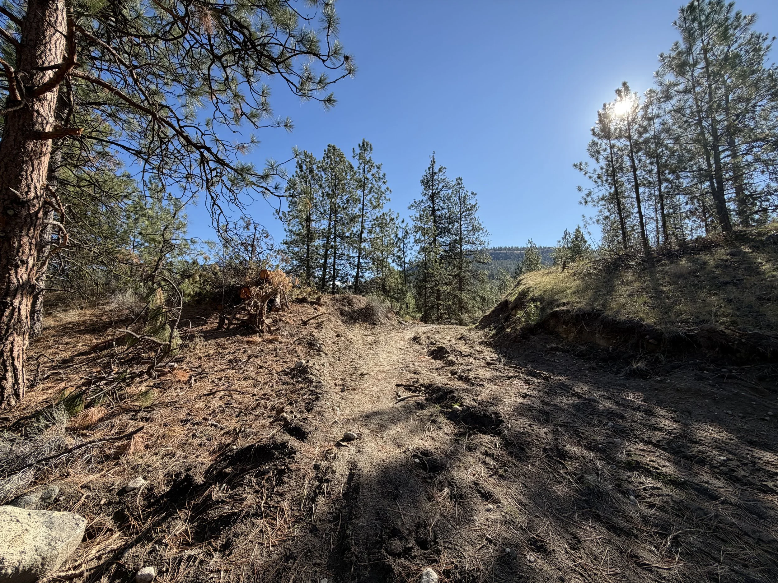
The heavy-equipment tracks cut into the mountain as a fire break.
The Scar on Mount Conkle
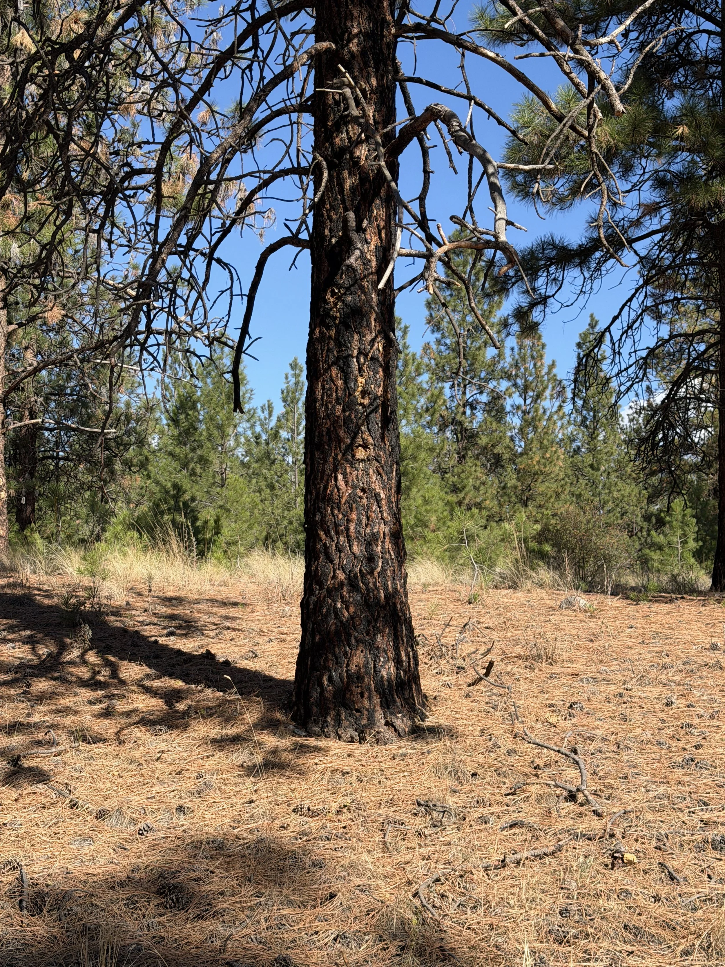
Evidence of the how close the fire came to the trail.
To the south is Mount Conkle. It was largely spared, but it’s changed forever. The fire circled the back of the mountain. If you hike around, you can find pockets of burned trees, but luckily, the fire did not spread.
The biggest and most lasting change is to the Trans-Canada Trail which follows the base of the mountain. It used to be a well-trodden and beautiful path, about 10 feet wide and worn smooth by years of footsteps. Now it’s a massive scar. It became the southern fire line to protect the town.
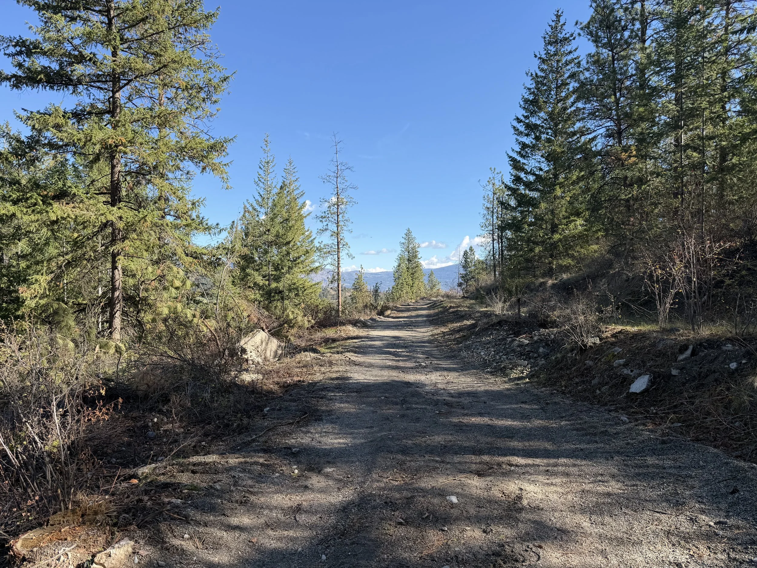
The newly expended fire-break where there was once a well-trodden path.
Heavy tracked equipment tore up the trail and the ground on both sides to make a firebreak. Crews cut down mature fir and ponderosa pine for at least 10 feet on either side of the enlarged trail. They dumped the cut trees on the downhill slope, away from the potential burn line. The trail, cultivated by heavy, tracked equipment is now an ankle-twister. It was modified in the panic of a huge, ongoing fire, where speed mattered more than tidiness. I can’t imagine trying to build this in the smoke, heat, and ash of an out-of-control fire. I don’t blame the people who did it - if it was needed, it could have saved the town.
Even if the ground is graded nicely, this trail will be hard to restore. The fallen trees are too impractical to haul out. They’ll stay there as a reminder of the bravery of the people who built that break to save our town.
Moving forward
In so many ways, #SummerlandStrong is rebuilding, and we’ll be better than ever, especially in the attitudes and shared experiences of those who lived through the fire and the long evacuation. But in other ways, it will be hard to go back to what it was.